Utah County Property Tax Records
Utah County property tax records cover more than 275,843 taxable parcels managed by the county Assessor, Recorder, and Treasurer offices in Provo. Utah County is the second most populous county in Utah, home to Provo, Orem, Lehi, and the fast-growing tech corridor known as Silicon Slopes, which spans much of the county's western bench. If you need assessed values, ownership data, tax payment history, land records, GIS parcel maps, or delinquent tax status on any property in Utah County, this page covers all the tools and offices that hold those records. Most records are accessible online through the county's digital systems.
Utah County Quick Facts
Utah County Assessor Office
The Utah County Assessor's Office is located at 100 East Center Street, Suite 1100, Provo, Utah 84606. The Assessor is Burt Garfield, and the office manages assessment records on all 275,843 taxable parcels in the county. That includes residential homes, commercial buildings, agricultural properties, and vacant land throughout the county's 35 cities and unincorporated areas. The office uses the Paragon Utah Mass Appraisal (PUMA) system for valuations, which is one of the most detailed computer-assisted mass appraisal platforms in use across Utah.
All Utah County properties are assessed at 100% of fair market value as of January 1 each year, as required by Utah Code Title 59, Chapter 2. The PUMA system stores detailed property characteristics for every parcel, including land area, building square footage, year built, construction type, condition ratings, room counts, and quality grade. These data fields drive the computer-assisted valuation models the Assessor uses to estimate market value consistently across the entire roll. With 275,843 parcels, Utah County's roll is the second largest in Utah by parcel count.
The county's rapid growth along the Wasatch Front means the Assessor reappraises large volumes of new construction each year. New parcels from subdivisions, condominiums, and commercial developments in cities like Lehi, Eagle Mountain, and Saratoga Springs are added to the roll each January. The PUMA system tracks new growth as a separate indicator, which is required under Utah's Truth in Taxation law so that tax rate increases tied to new construction can be distinguished from rate increases on existing property.
Visit the Utah County Assessor at utahcounty.gov/Assessor to access the office's online tools, including PUMA data searches and assessment notices.
The Utah County Assessor's online portal shows how the PUMA system is used to manage valuations across the county's extensive and growing parcel roll.
Utah County's GIS portal integrates directly with Assessor data, providing parcel boundaries, ownership details, and valuation information across all 275,843 parcels in the county.
Utah County Land Records Web Portal
The Utah County Land Records portal at utahcounty.gov/landrecords is one of the most comprehensive county-level property search systems in Utah. It offers multiple distinct search types that let you approach a record from several different angles depending on what information you have available. This makes it useful whether you have an owner's name, a specific parcel serial number, or just a street address.
Property searches through the Land Records portal include Name Search, Address Search, and Serial Number Search. The serial number search is the most precise method since each parcel has a unique serial number that never changes. Once you locate a parcel, the portal gives access to Property Information Display, Development and Subdivision Search, Appraisal Information, Property Values, Valuation Notices, Tax Information, Delinquent Tax Search, Tax Payoff calculations, and a Serial History showing how parcel numbers have changed over time. These tools cover nearly every category of Utah County property tax records research you might need.
The document side of the Land Records portal is equally detailed. You can search Abstract Information, Document Recording Search, Documents by Entry Number, Documents by Book and Page, a Document-Parcel Cross-Reference index, Documents by Name, KOI Search, Water Rights Documents, and a REDI Book covering 1976 to 1977. Plat Map Images are also available, as is a Mining Index for mineral rights research. For historical searches, these tools let you trace chains of title and find related instruments without visiting the Recorder's office in person.
Note: The Serial Number Search in the Land Records portal is the most reliable starting point if you have the parcel number from a previous document or tax notice, as it bypasses name spelling variations and address formatting issues.
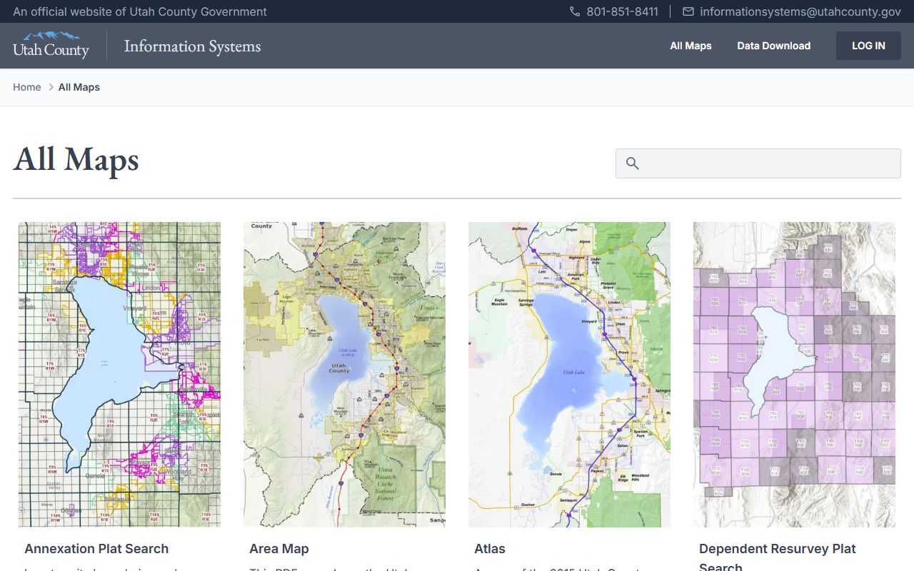
Utah County GIS and Parcel Maps
Utah County's GIS mapping portal at is.utahcounty.gov/gis/maps provides a full suite of map-based property research tools. The core tool is the Parcel Map, which shows property boundaries, ownership information, and land division data across the entire county. You can zoom in on any area, click a parcel, and pull the ownership and assessment data tied to that parcel directly from the Assessor's database.
Beyond the basic Parcel Map, the GIS portal includes an Annexation Plat Search for tracing when parcels were added to city boundaries, a Zoning display showing current land use designations, a Property Notification tool that lets you download property information for all parcels within a selected distance of a point (useful for public notice research), a Precinct Locator, a Private Survey search, an Elevation Plat Search, and an Infrastructure District Search. These are practical tools for attorneys, title companies, developers, and property owners who need to understand what overlays and districts affect a given parcel.
Utah County also offers mobile apps for its GIS data, available for both Android and iPad, so you can access parcel maps from the field when needed. The GIS data is generated from the Recorder's official parcel boundaries and linked to the Assessor's tax roll attributes, making it a unified source for both spatial and valuation data.
For those who want raw parcel data in GIS format, the ArcGIS parcel layer at arcgis.com provides downloadable GIS parcel boundaries and county tax roll attributes generated from Utah County Recorder data. This is useful for bulk property research, mapping projects, and data analysis.
The Utah State Tax Commission also maintains the Utah GIS Portal, which provides statewide parcel data downloads that include Utah County parcels alongside all other counties in a consistent format.
Utah County Recorder Office
The Utah County Recorder is Andrea Allen. The office is located at 51 South University Avenue, Suite 211, Provo, UT 84601. The phone number is (801) 851-8179. The Recorder maintains all official instruments affecting title to real property in Utah County, including warranty deeds, quitclaim deeds, trust deeds, mortgages, liens, easements, subdivision plats, and condominium declarations. These documents are the legal foundation underlying every parcel on the Assessor's roll.
The Recorder's online document search is accessible through the Land Records portal at utahcounty.gov/landrecords. You can search by document type, entry number, book and page reference, or party name using the grantor-grantee index. The cross-reference tool lets you look up all documents associated with a specific parcel, which is useful for title research. The Recorder also maintains maps showing current ownership across Utah County, which are updated as new instruments are recorded. For older documents, the REDI Book covering 1976-1977 and the Mining Index provide access to pre-digital records that are not otherwise searchable online.
When a deed is recorded in Utah County, the Recorder's office sends updated ownership information to the Assessor so that the tax roll reflects the new owner. This connection between recording and assessment means that checking recorded documents at the Recorder's office can help you verify whether ownership changes have been processed to the Assessor's system.
Utah County Treasurer and Tax Payments
The Utah County Treasurer collects all property taxes billed to Utah County parcels and distributes those revenues to the taxing entities that serve each property. The Treasurer's portal at utahcounty.gov/Treasurer provides online tax search and payment tools. You can look up current year tax amounts, view payment history, check delinquent status, and get a payoff quote for any parcel. Online payments can be made by credit card or e-check.
Utah County property taxes are due annually. The tax notice mailed to each property owner lists the parcel number and legal description, the assessed and taxable values, the levy rate for each taxing entity covering that parcel, and the total amount due. Utah County parcels may have levies from the county government, one or more school districts, a municipality, water or sewer districts, fire districts, library districts, and other special service districts. The number of taxing entities layered on a single parcel varies by location within the county.
When taxes are delinquent for five or more years, the Treasurer may turn the property over for sale under Utah Code procedures. The Treasurer tracks all delinquent accounts, and delinquency status is part of the public record for every Utah County parcel. You can search delinquent tax status directly through the Land Records portal's Delinquent Tax Search tool or through the Treasurer's portal. If you find delinquency on a parcel you are researching, contact the Treasurer's office for a current payoff amount before relying on older figures from the search system.
How Utah County Property Tax Is Calculated
Utah County property taxes follow a three-step process set by state law. First, the Assessor determines the fair market value of your property as of January 1, using the PUMA system to analyze comparable sales, cost data, and income potential for commercial properties. Second, the market value is multiplied by the 55% assessment ratio to arrive at the taxable value. The remaining 45% is exempt for primary residences under Utah's primary residence exemption. Third, the combined levy rate from all taxing districts covering your parcel is applied to the taxable value to produce the final tax bill.
With a median home value of $233,800, the primary residence exemption reduces the taxable base to roughly $128,590 for a typical Utah County home. The county's effective rate of 0.55% is below the state average, which reflects a relatively lower combined levy across Utah County taxing entities compared to more urban counties like Salt Lake. The median annual tax of $1,287 makes Utah County one of the more affordable counties in the state on a tax-to-value basis. That said, rapid home value appreciation in cities like Lehi and Eagle Mountain has been pushing assessed values higher in recent years, and tax bills have risen accordingly even when levy rates stay flat.
For statewide context, the Utah property tax rates by county overview shows how Utah County compares to all 29 counties. The site also provides a broader Utah property tax overview that explains how the statewide system works.
The Truth in Taxation process governs any rate increases in Utah County. Any taxing entity that wants to collect more total revenue than it collected the prior year must publish notice and hold a public hearing, giving property owners a chance to comment before the increase takes effect. This applies to all taxing entities in Utah County, not just the county government itself.
Appeals and the Board of Equalization
If you think the Utah County Assessor has valued your property above its actual market value, you can appeal to the Utah County Board of Equalization. The appeal deadline is 45 days from the date shown on your assessment notice. You submit a written request to the Board, which then schedules a hearing where you can present evidence. Strong evidence includes recent comparable sales in your neighborhood showing lower values than your assessment, a licensed independent appraisal, or documentation of errors in the Assessor's PUMA data for your parcel.
Errors in the PUMA database are worth checking before you prepare a full appeal. The system stores data on lot size, square footage, year built, bedroom and bathroom counts, basement finish, garage capacity, and special features like decks or pools. If any of those fields are wrong in the Assessor's records, the valuation model will produce a higher or lower number than justified by the property's actual characteristics. You can request a review through the Assessor's office if you find a factual error, which may resolve the issue without a formal Board hearing.
If the Board of Equalization rules against you, the next step is an appeal to the Utah State Tax Commission Property Tax Division. The Commission hears formal appeals from taxpayers who disagree with county Board of Equalization decisions. The Commission also oversees the assessment of centrally assessed properties like utilities and railroads, which are tracked through the centrally assessed property system rather than through individual county assessors.
Utah State Tax Commission Oversight
The Utah State Tax Commission oversees all 29 county assessors, including Utah County. The Commission's Property Tax Division ensures uniform and equal treatment of properties across the state. It reviews county assessment practices, audits assessment ratios, and issues guidelines that all county assessors must follow. For Utah County, with its large and fast-growing assessment roll, Commission oversight plays a meaningful role in maintaining consistent valuations.
Some Utah County properties are assessed at the state level, not by the county Assessor. Centrally assessed properties include electric utilities, natural gas companies, railroads, telecommunications carriers, and mines operating across county lines. The State Tax Commission values these properties centrally and allocates the resulting tax revenue to the counties where those properties operate, including Utah County. Property owners of centrally assessed property must file their appeals with the Commission's Property Tax Division by August 1 each year.
The Utah Code governing property taxation is available in full at le.utah.gov. A plain-language version of key Utah property tax statutes is also available through Justia's Utah Code index, which can be useful for understanding the legal basis for assessment, exemptions, and appeals.
The State Tax Commission maintains the Tax Commission's main portal at tax.utah.gov, which is the authoritative source for forms, guides, exemption applications, and appeal procedures related to Utah property taxes.
The Utah State Tax Commission portal is the central resource for statewide property tax guidance, exemption forms, and oversight of all county assessors including Utah County.
The State Tax Commission oversees all Utah county assessors and provides the primary residence exemption application and other forms that Utah County property owners need each year.
Utah County Property Records and Public Access
Utah County property records are public under Utah's Government Records Access and Management Act (GRAMA). Assessment data, recorded documents, tax billing information, and delinquent tax status are all available to any member of the public. Most of this data is accessible through the Land Records portal and the Assessor's online tools without needing to submit a formal GRAMA request. For records not available online, you can file a GRAMA request at the Recorder's office or the relevant department.
The Utah GIS Portal at gis.utah.gov provides downloadable statewide parcel data that includes Utah County parcels in a format usable for bulk research and analysis.
The Utah County property records system is one of the most digitally accessible in the state. The combination of the Land Records portal, the GIS mapping tools, and the Assessor's PUMA database means that most research tasks can be completed online without visiting a county office in person. For complex title research or historical records going back before the digital era, an in-person visit to the Recorder at 51 South University Avenue, Suite 211, Provo remains the most reliable option.
The Utah property tax rates portal shows how rates are distributed across the state.
Utah County's 0.55% effective rate places it below the statewide average and well below Salt Lake County's 0.67% rate, reflecting fewer taxing entity layers in Utah County's combined levy structure.
The Utah property tax code page at the state legislature shows the full statutory framework that governs Utah County property tax records.
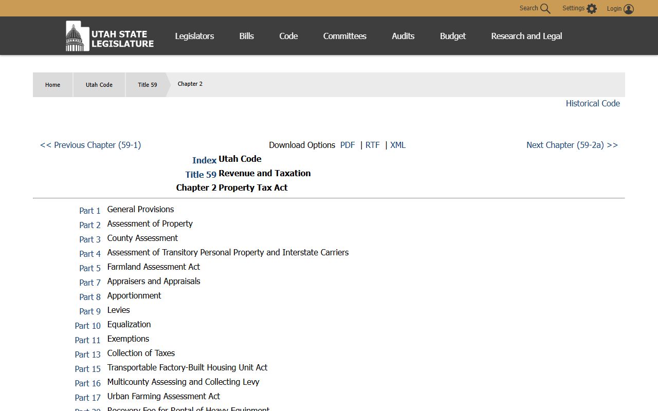
Utah Code Title 59, Chapter 2 is the legal basis for all assessment, exemption, and appeal procedures that govern Utah County property tax records.
Cities in Utah County
Utah County includes several of Utah's largest cities. Provo is the county seat and home to Brigham Young University. Orem, Lehi, American Fork, Eagle Mountain, Pleasant Grove, Springville, Spanish Fork, and Saratoga Springs all have pages with city-specific property tax information. Each city page covers the courthouse serving that city, the county offices that handle its property records, and local resources for property owners.
Nearby Counties
Utah County borders several other Utah counties. Salt Lake County is to the north and is the state's most populous county. Wasatch County lies to the northeast, with high home values driven by ski resort proximity. Juab, Sanpete, Carbon, and Duchesne counties border Utah County to the south, east, and southeast.